UN
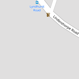
73 Lindenthorpe Road
£ 165,000
Description
We don't have a Description for this property.
- Bedrooms
- 2
- Bathrooms
- 0

Leaflet © OpenStreetMap contributors
The heatmap indicates the level of crime in the area. The color of the heatmap indicates the crime severity and recency.
Metrics Year-on-Year
- Average area value
- 400,000.00 £Decreased by 26.17 %
- Average area rental value
- 895.00 £/moDecreased by 35.00 %
- Est rental Yield
- 2.69 %Decreased by 11.80 %
- Crime Rate
- 2.00 %Unchanged by 0.00 %
from 541,792.00 £
from 1,377.00 £/mo
from 3.05 %
from 2.00 %
Nearby Schools
| Name | Type | Ofsted | Distance |
|---|---|---|---|
| Stone Bay School | Foundation Special School | Good | 0.69 KM |
| St Mildred'S Primary Infant School | Foundation School | Outstanding | 0.79 KM |
| St Joseph'S Catholic Primary School, Broadstairs | Academy Converter | Good | 0.93 KM |
| Haddon Dene School | Other Independent School | 1.08 KM | |
| Ekc Group | Further Education | 1.17 KM |
Images
Nearby Streets
| Name | Average Price | Average Sqft | Distance |
|---|---|---|---|
| Cumberland Avenue | £ 498,750 | 0 | 0.00 KM |
| Lyndhurst Road | £ 749,973 | 0 | 0.00 KM |
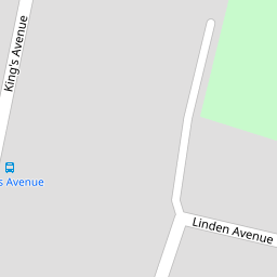
| Linden Avenue | £ 481,250 | 0 | 0.00 KM |
| Queen's Avenue | £ 513,889 | 0 | 0.00 KM |
| Belmont Road | £ 303,181 | 0 | 0.00 KM |
Nearby Transport
| Name | NLC | TLC | Distance |
|---|---|---|---|
| Broadstairs | 5006 | BSR | 0.63 KM |
| Dumpton Park | 5034 | DMP | 2.46 KM |
| Ramsgate | 5023 | RAM | 4.35 KM |
| Margate | 5018 | MAR | 7.67 KM |
Nearby Listings
| Address | Price | Type | Score | Distance |
|---|---|---|---|---|
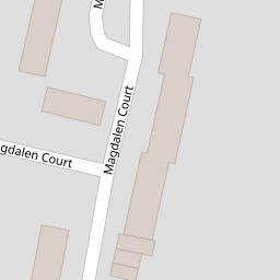
| Magdalen Court, Broadstairs, CT10 | £ 195,000 | BUY | 6 / 10 | 0.12 KM |
| Kings Avenue, Broadstairs, CT10 | £ 375,000 | BUY | 7 / 10 | 0.15 KM |
| Kings Avenue, Broadstairs, CT10 | £ 635,000 | BUY | 7 / 10 | 0.16 KM |
| Lindenthorpe Road, Broadstairs, Kent, CT10 | £ 575,000 | BUY | 7 / 10 | 0.17 KM |
| Kings Avenue, Broadstairs, Kent, CT10 | £ 625,000 | BUY | 8 / 10 | 0.19 KM |
Nearby Properties
| Address | Price | Distance |
|---|---|---|
| 87 Lindenthorpe Road | £ 58,500 | 0.00 KM |
| 77 Lindenthorpe Road | £ 60,000 | 0.00 KM |
| 92 Lindenthorpe Road | £ 210,000 | 0.00 KM |
| 110 Lindenthorpe Road | £ 250,000 | 0.00 KM |
| 85 Lindenthorpe Road | £ 280,000 | 0.00 KM |